Project Background
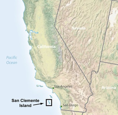
About the Island
About the Project
California State University, Northridge (CSUN) operates five weather stations on San Clemente Island under contract with the Natural Resources Office (NRO) at North Island Naval Air Station in Coronado, California. The purpose of the monitoring is to support biological and other environmental studies of the island, in particular with respect to providing microclimate data. Since the goat eradication program of the 1980s, NRO has invested significant effort in re-vegetating and restoring native flora on the island. The island supports a number of endemic species of flora and fauna, notably the endangered Loggerhead Shrike, which is found in inaccessible canyons along the coast. Other endemic species of fauna and flora include the Sage Sparrow and plants such as the Larkspur, Milkvetch, and Bush Mallow.
CSUN’s weather monitoring program on SCI began in 1994 with the installation of ALERT weather stations in three different micro-habitats: the coastal terraces of Eel Point on the west, Hoeppel on the central plateau, and Nanny along the eastern escarpment. In 1996 portable stations were installed at the old Nursery site and Observation Point 1 (OP1). An additional station was added at OP3 in 1998. Weather observations are recorded on a continual basis with hourly data saved onsite in storage modules. Transmitters are currently being installed (2008-2009) to allow real-time data access to all stations in support of the navy’s biological monitoring program.