Link to KMZ file (requires google earth)
Additional Pictures of the GPS excursion.
Classroom Applications:
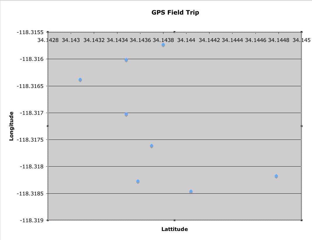
GPS is an excellent tool in teaching introductory physics. Standards such as using a refernce point, calculating and graphing speed, and interpreting graphs of distance vs. time can all be experienced on a gps field trip similar to the one seen here. With the use of a GPS device, students could track and graph their own movement, as well as work to interpret and recreate others' paths of travel.
GPS, in combination with google earth, would also be an asset before, during, and after a field trip. In earth science, especially, students would benefit from seeing the landforms that they will experience. GPS can then make the connection between their experiences and the topography of the area upon their return back to class. With the addition of digital photography and/or video this technology could also be used to create a "virtual field trip" for destinations that are impractical.
Partners: David, Krista, and Marissa