
Oviatt Library Map Collection

 Beginning spring semester, the Oviatt Library Map Collection is now located on the the Garden Level of the library and can be accessed from the northeast stairwell or from the east wing elevator in the Learning Commons.
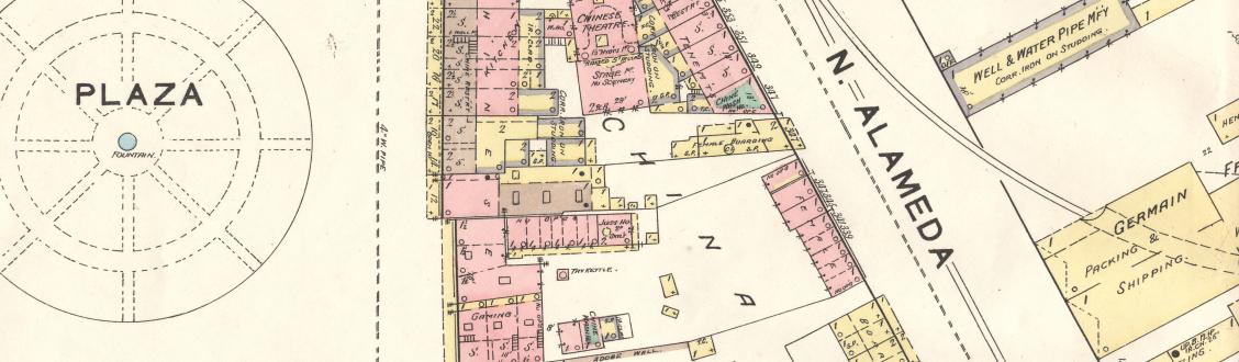
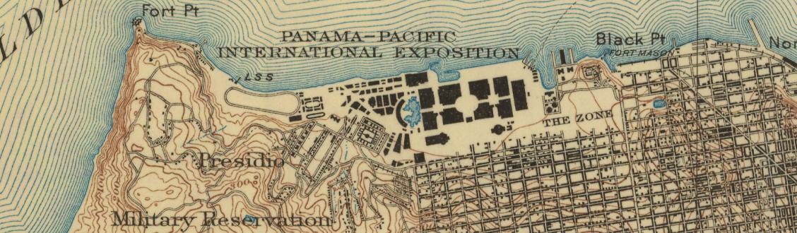
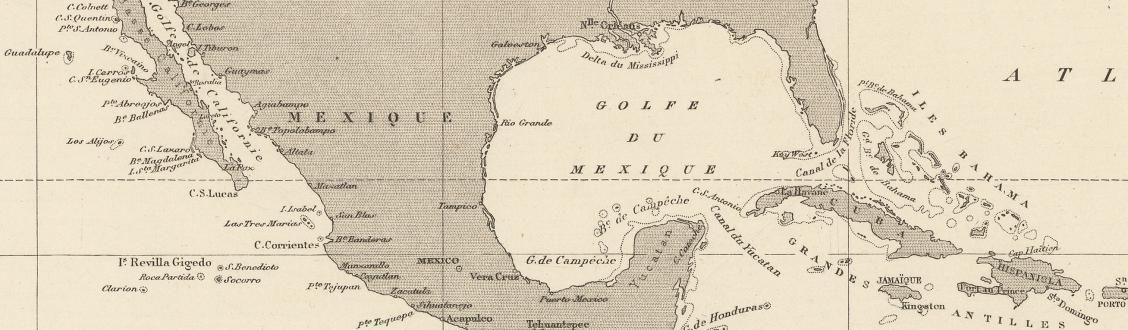
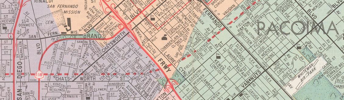
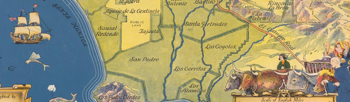
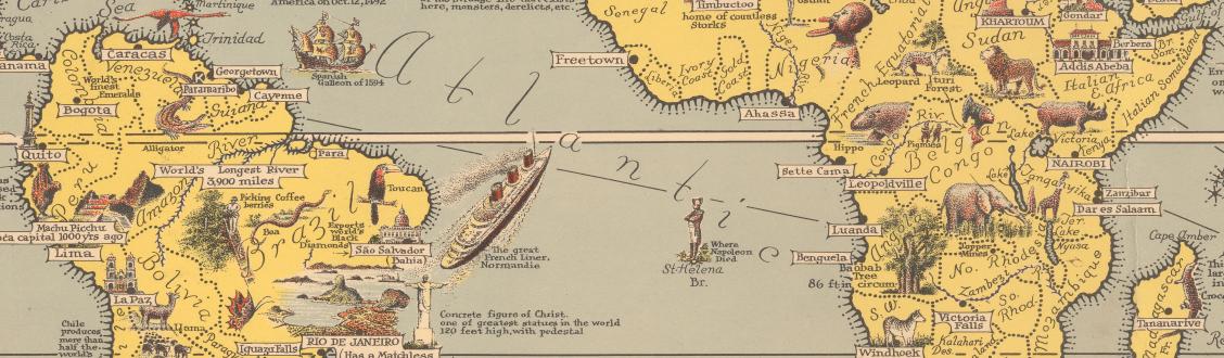
The Oviatt Library Map Collection holds a research-level collection of approximately 400,000 historical and government maps, aerial photographs, atlases, and geospatial data that support research on campus. While holdings are international in scope, the collection emphasizes Western Americana, particularly maps of California, Los Angeles County, and the San Fernando Valley. Patrons can find primary and secondary resources like city maps, historical road and tourist maps, planning and zoning maps, topographic maps, geologic and bathymetric maps, WWII maps from the Army Map Service, and maps from other federal agencies like the USGS, the Bureau of Land Management, and the U.S. National Park Service.
The Map Collection is a comprehensive service point whose staff provides subject expertise in cartographic resources, general and complex reference services, and GIS research & technical support. The Map Library Reading Room (Oviatt Library 26) is an open study space available to all patrons and includes a scholarly collection of books and atlases available for browsing. If you have research questions or inquiries related to cartographic resources, GIS, ArcMap, or using maps as primary resources, please come by OV 26 to speak with a staff member today.